25 March 2024
Risk mapping tool improves supply chain visibility and response times
HSV has developed an earthquake mapping tool that provides current data on health supplier manufacturing sites impacted by earthquakes worldwide.
The tool was developed to help monitor and assess risk in health service supply chains following the magnitude six earthquake near Lanzhou, China in December 2023, where several Victorian health sector manufacturing sites are located.
HSV’s Head of Supply Chain Surety Paul Callahan says the tool significantly improves HSV’s visibility of supply chain risks.
“After the earthquake in China, it took several hours for the team to manually investigate whether it would have an impact on our supply chains,” he says.
“We had to contact suppliers and find out which products were manufactured in the region. Suppliers don’t necessarily have all those details to hand.” On this occasion there was no impact on supply, and Paul says the tool will allow the team to respond much more quickly in the future.
“It gives us access to current data, which means we can assess the risk immediately,” he says.
The risk mapping tool uses earthquake data from the US Geological Survey and cross-references events with known locations of supplier manufacturing sites. It provides intelligence on all products under HSV contracts.
While the tool was developed to monitor earthquakes, its capability can be expanded to map geopolitical risk, major industrial action and natural disasters such as floods, volcano eruptions and bushfires.
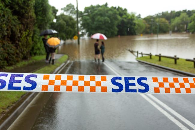
The team is currently investigating data sources that map global floods and storms such as The Global Flood Database and The Australian Institute for Disaster Resilience.
Access to this kind of data is vital given many of our suppliers’ manufacturing sites are located in regions where natural disasters are relatively common, such as the US, China and Australia.
“This capability allows us to identify those events that are likely to undermine the resilience of our supply chains and cause disruptions to critical product supplies,” says Paul.
“In recent years we’ve seen more extreme weather events in Australia so it’s important that we monitor these risks at home as well as overseas.”
The risk mapping tool was developed in-house at HSV using Microsoft Power BI, and has similar functionality to supply chain risk management tools on the market that offer geolocation tagged event capabilities.
The US National Earthquake Information Centre locates about 20,000 earthquakes around the globe each year, which is around 55 each day.
According to the 2021 Australia State of the Environment report, extreme weather-related events including heatwaves, droughts, bushfires and floods are becoming more frequent and intense.